Middle Fork Firewise® Community
Who are we?
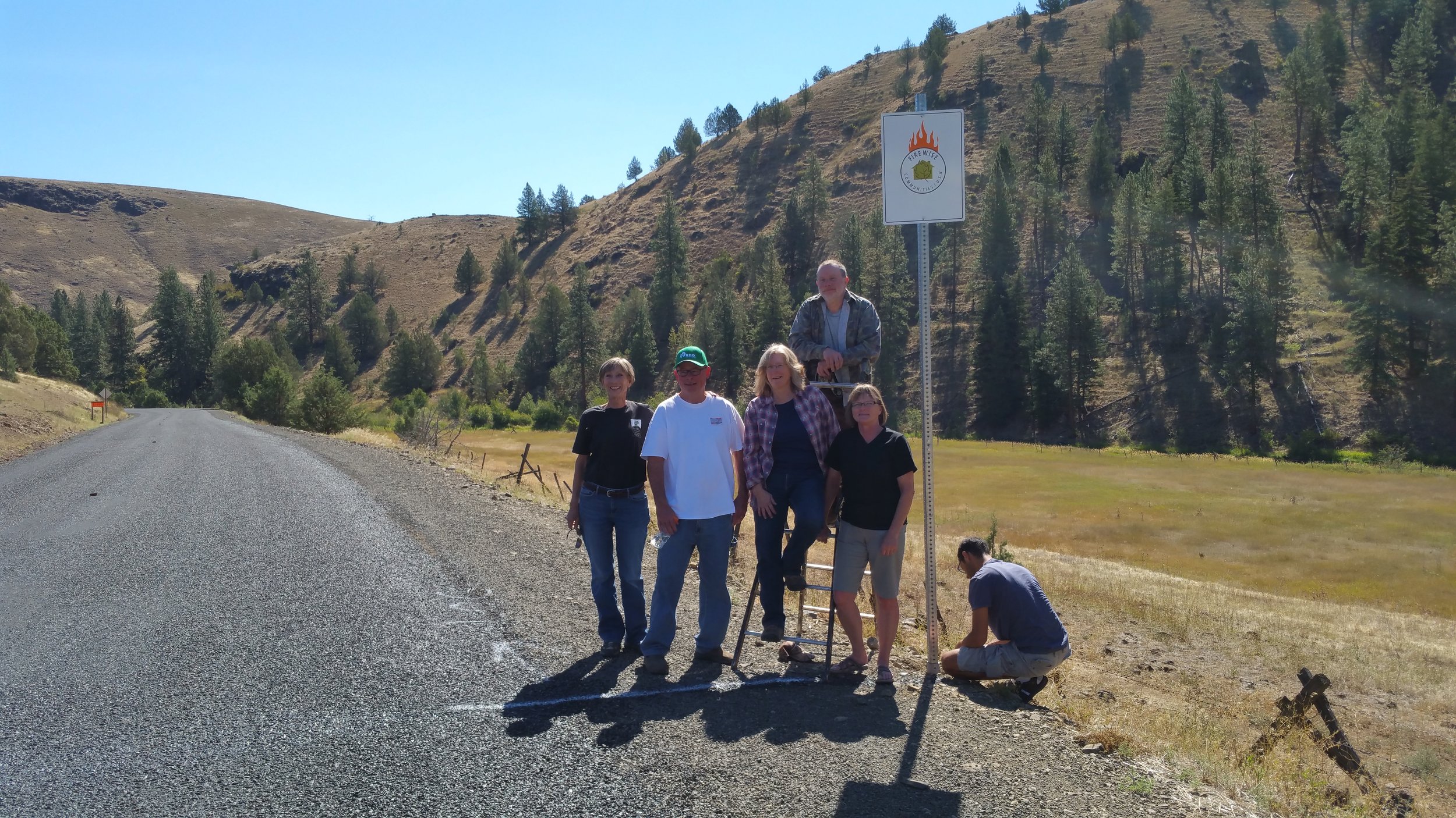
The Middle Fork community became Firewise® official in August of 2016 immediately after Ritter! Since then the community has mapped water sources and created an emergency contact list for emergency responders.
Additionally, in 2019 the community worked with Grant County emergency managers and participated in an evacuation exercise.
The Middle Fork Firewise Community extends 43 miles from Hwy 7 west to Hwy 395 and ridgetop to ridgetop north and south along the Middle Fork of the John Day River.

Where are we?
Map soon to come
Links
Community Projects/Articles
Contact: Irene Jerome at ijeromejnrc@gmail.com